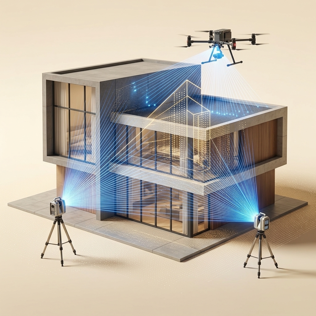
Site Scan
LiDAR & 360° capture on location. Millions of laser pulses map every surface to millimetre precision while high-resolution cameras capture photographic detail.
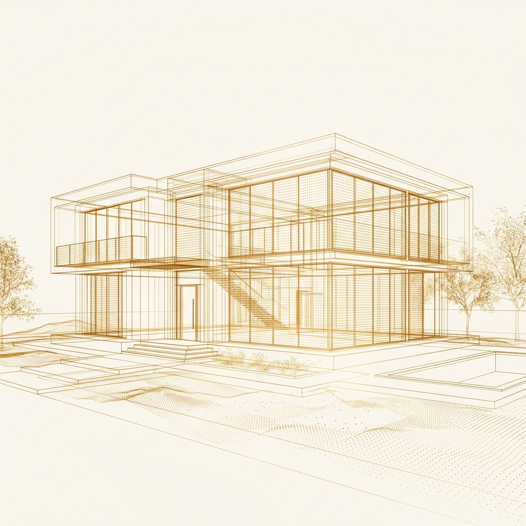
Point Cloud
Millions of measured 3D coordinates are registered into a unified spatial dataset. Each point carries position, colour, and intensity, forming a precise digital scaffold of the space.
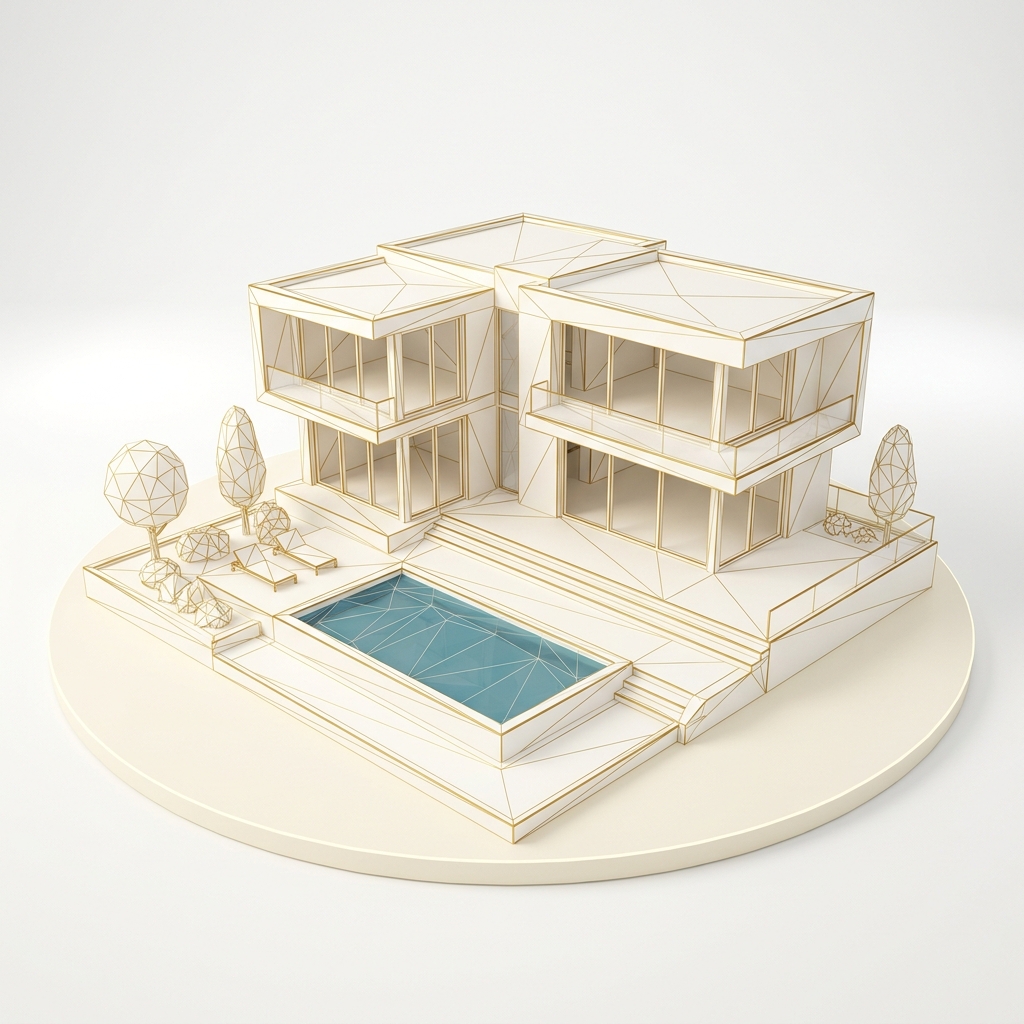
Mesh Generation
Point clouds are triangulated into clean, watertight 3D geometry. Adaptive mesh algorithms preserve fine architectural detail while optimising polygon count for real-time delivery.
Textured Render
High-resolution photography is projected onto the mesh. Materials, lighting, and atmosphere bring the geometry to life, creating a photorealistic replica indistinguishable from reality.
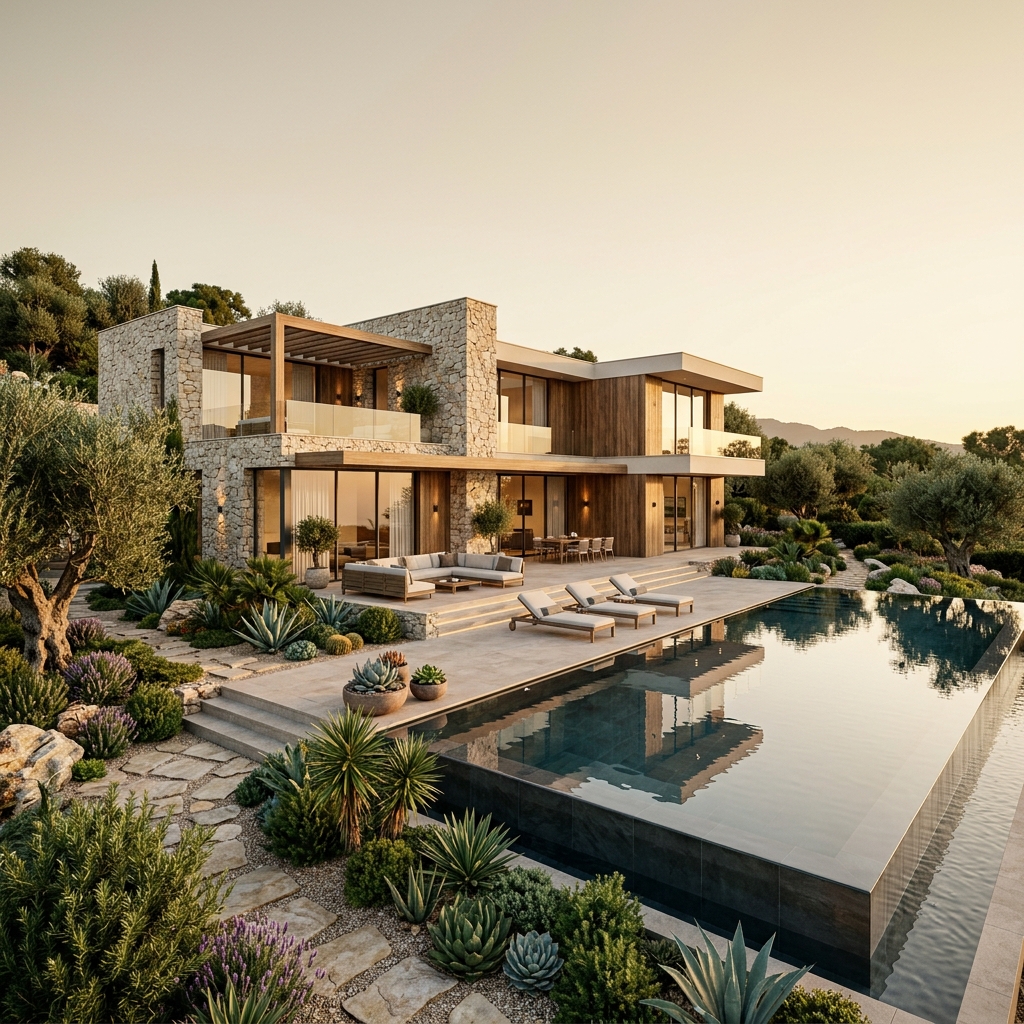
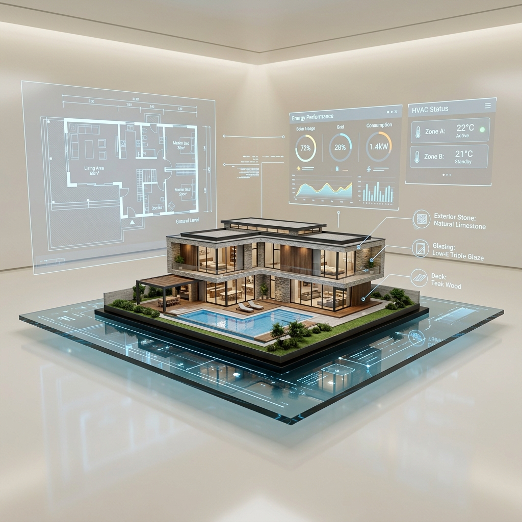
Interactive Walkthrough
The finished digital twin is deployed as a browser-based experience. Navigate, measure, annotate, and share. An interactive replica accessible from any device, anywhere in the world.